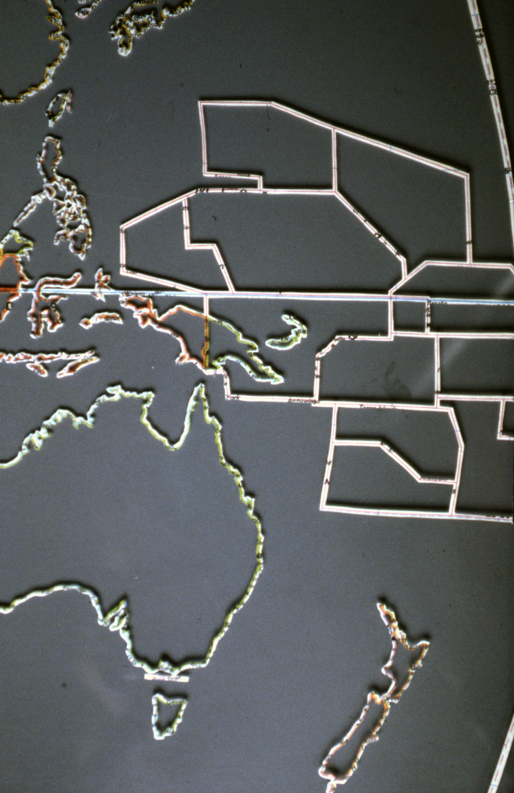
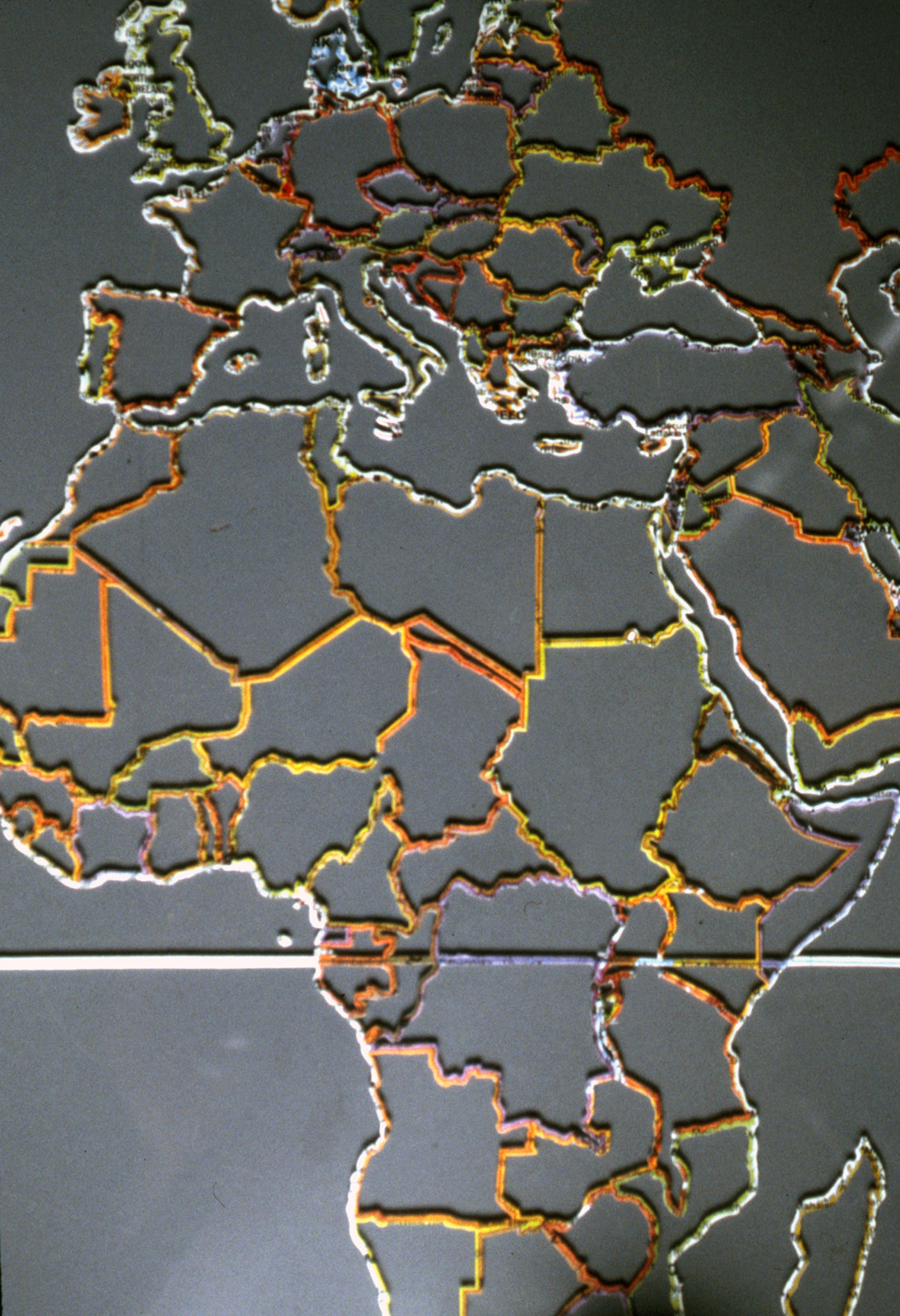
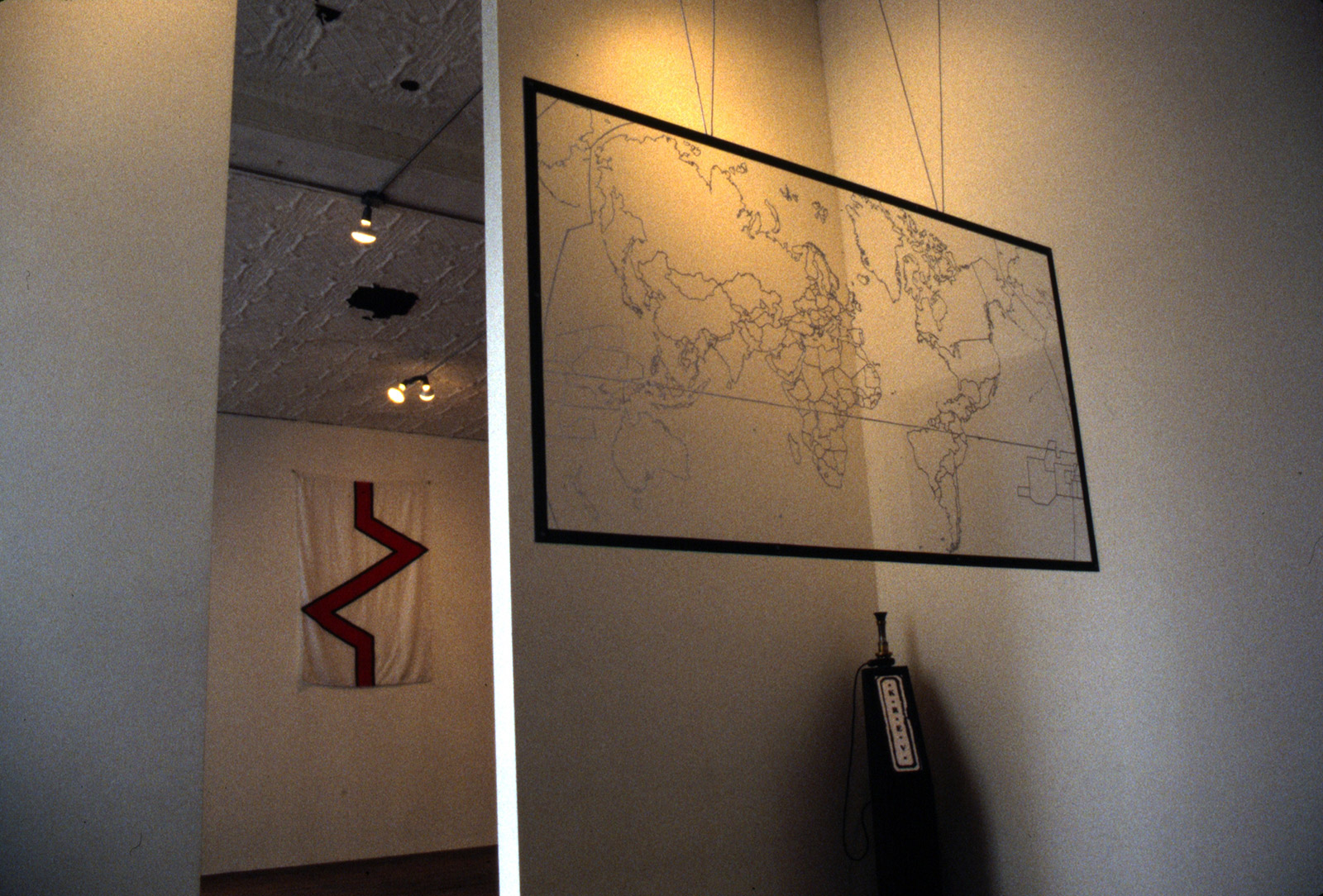
Map of Elgaland/Vargaland
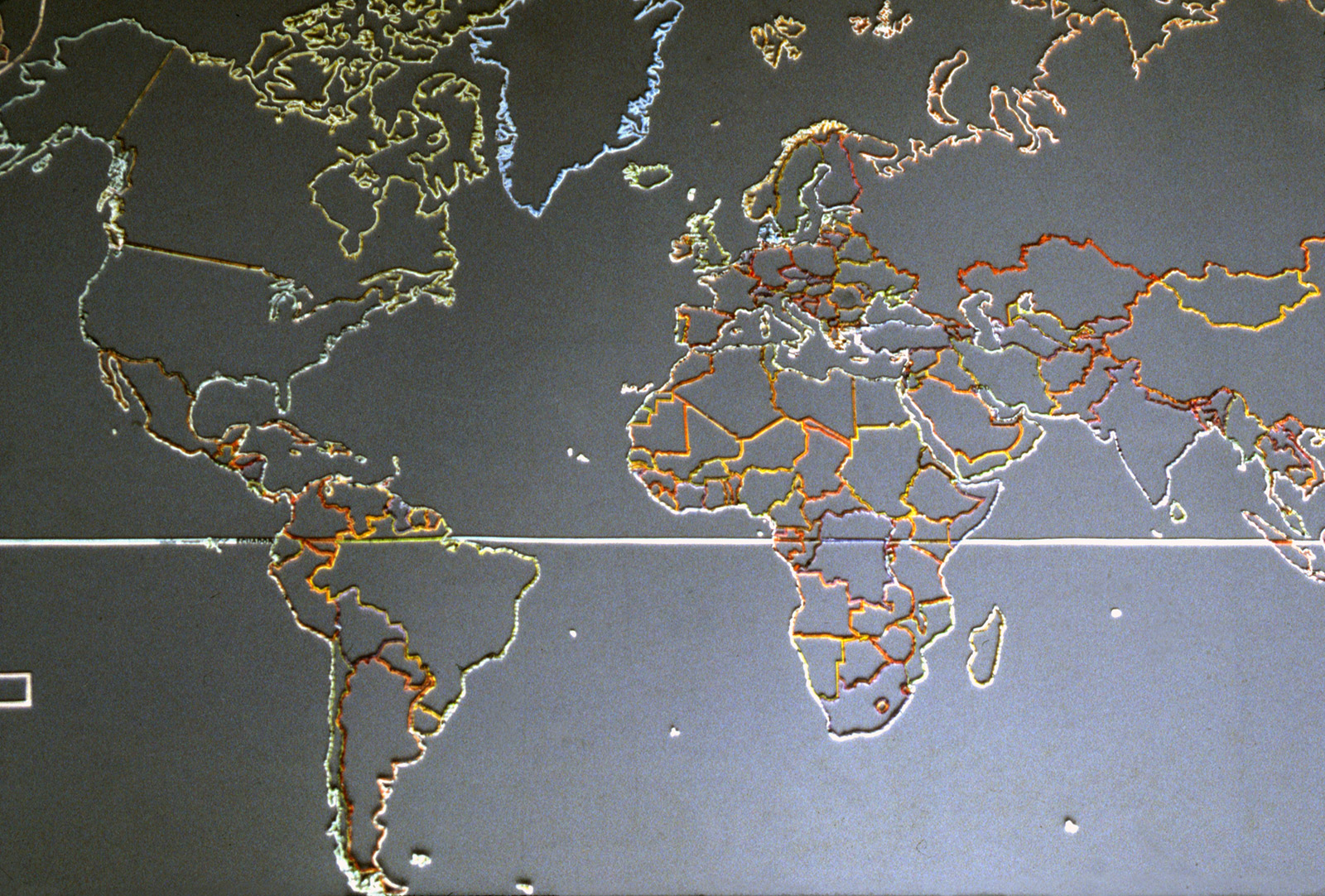
Map of Elgaland/Vargaland, 1997. Excised polyethlyne map between two acrylic sheets. 75 cm × 137 cm × 3 cm.
For nearly 30 years, I’m proud to have been the Minister of Cartography of a country known as Elgaland/Vargland, proclaimed into existence on May 27th, 1992. The kingdom consists of “All border territories between all countries on earth, and all areas (up to a width of 10 nautical miles) outside all countries’ territorial waters” but also “Mental and perceptive territories” such as the state between waking and sleeping. There are approximately 2000 citizens who benefit from a constitution, an official passport, and embassies all over the world. The country’s two kings, who rule jointly, are Carl Michael von Hausswolff and Leif Elggren (KMW Michael I and KMW Leif I).
I created a map of the country for an Elgaland/Vargaland-focused exhibition at Thomas Nordanstad gallery in New York in 1997, which visualizes the E/V territories that appear on a conventional map, including all the borders between countries and also the equator.