World Map
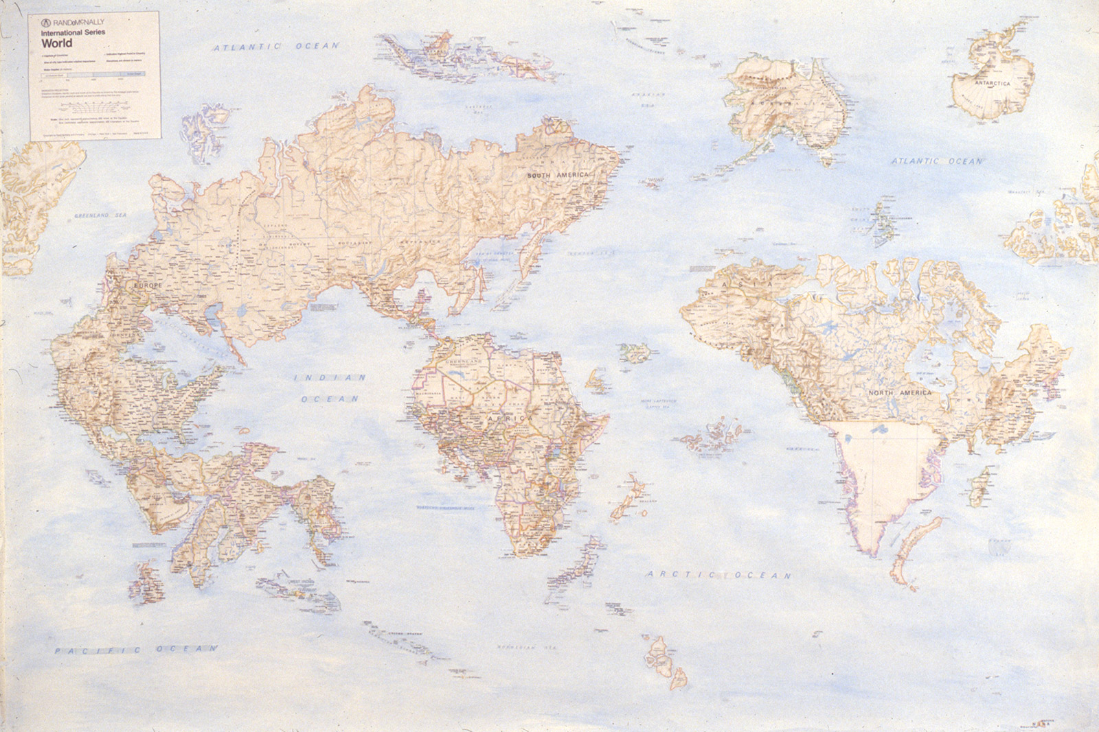
World Map, 1989. Cut paper on board, watercolor, dry transfer lettering, 40 × 50 inches (101.6 × 127 cm).
I made World Map in college in response to a class assignment, and it marks the beginning of my work with maps. Using a blade, I took apart a paper map, moving pieces over to a large piece of paper which I watercolored the same blue as the ocean in the original map. Gradually, I reconfigured the world. I reconstructed words using dry transfer lettering in places where the names of countries had gotten truncated. Some of my reordering was based on historical or geopolitical factors (Western Europe was inserted into West Africa to reference colonialism); other times, I was guided by the formal characteristics of the map itself. Australia and Alaska had the same green border color, for example, and fit perfectly together due to the distortion of scale that occurs towards the poles.
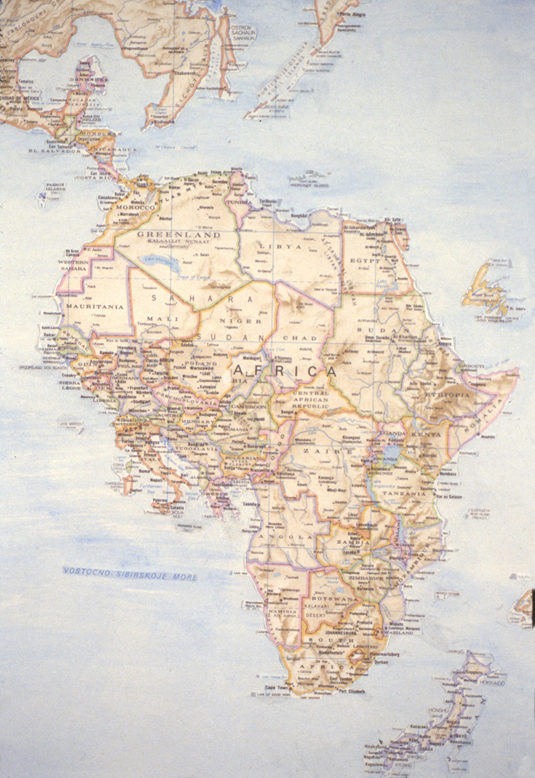
Detail from World Map, 1989. Cut paper on board, watercolor, dry transfer lettering, 40 × 50 inches (101.6 × 127 cm).